Lost – but forgotten?
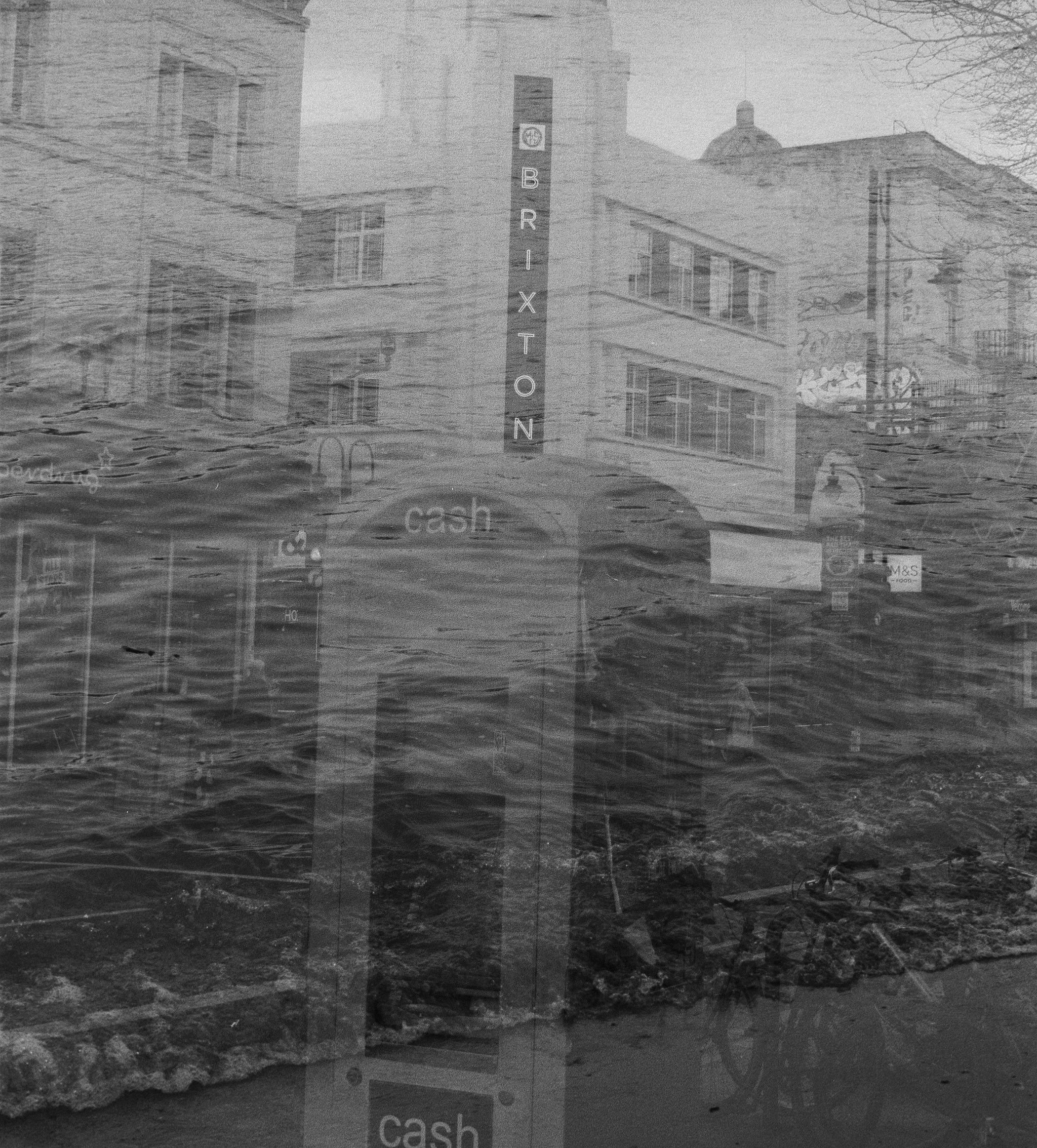
The Ancient River Effra ran from Norwood through Dulwich, Herne Hill, and Brixton to join the Thames at Vauxhall, until it was buried in the mid-1800s, having been used as an open sewer. There are around 12 of these ‘lost’ rivers in London.
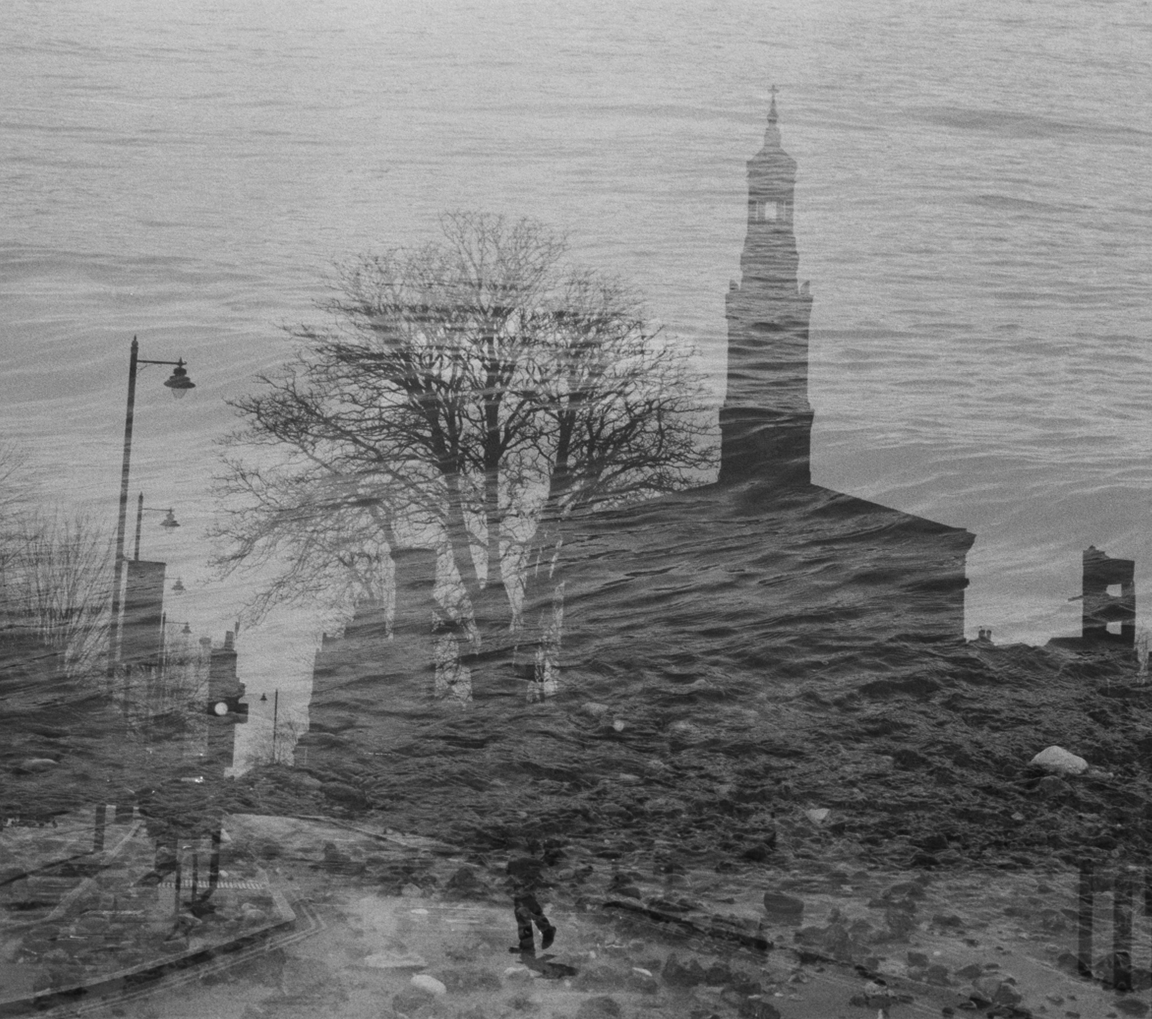
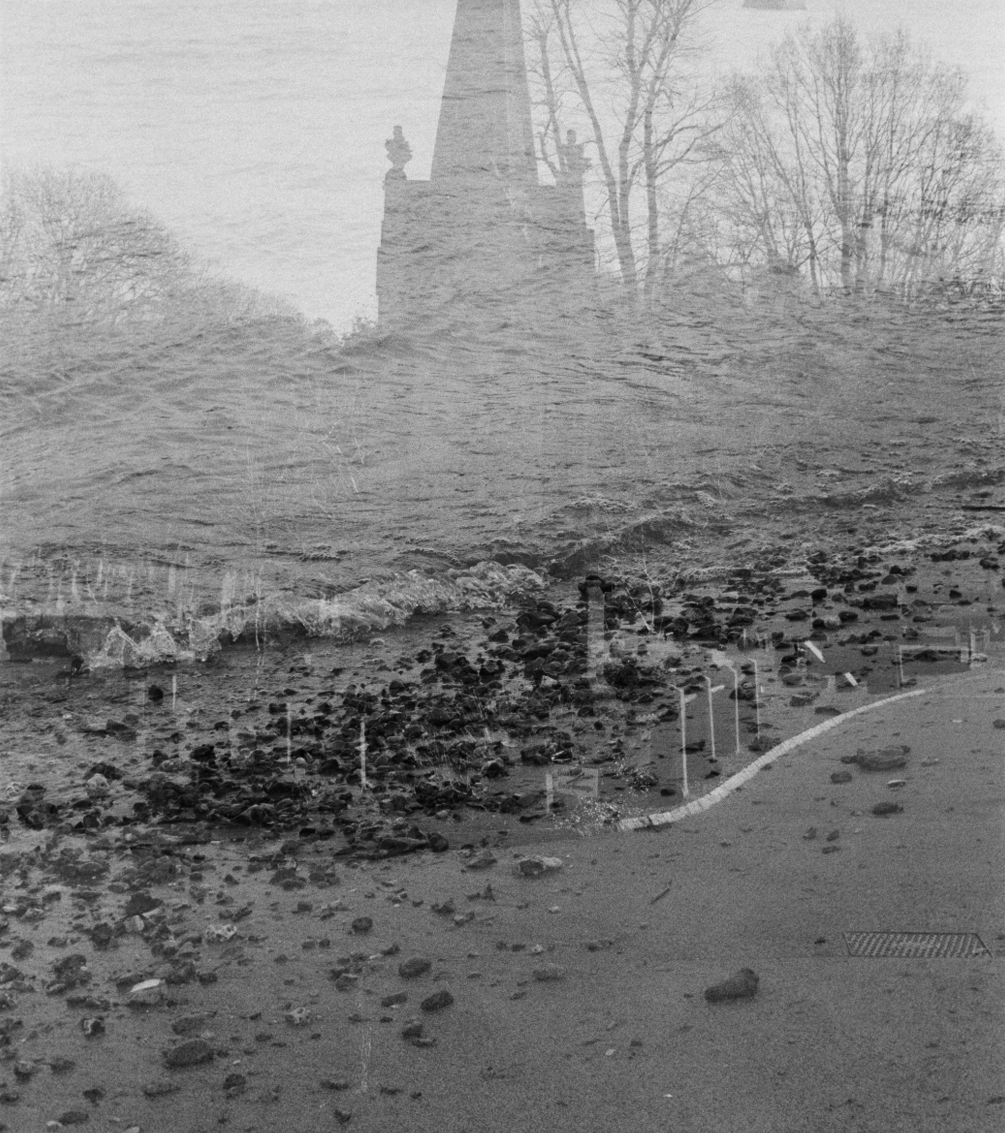
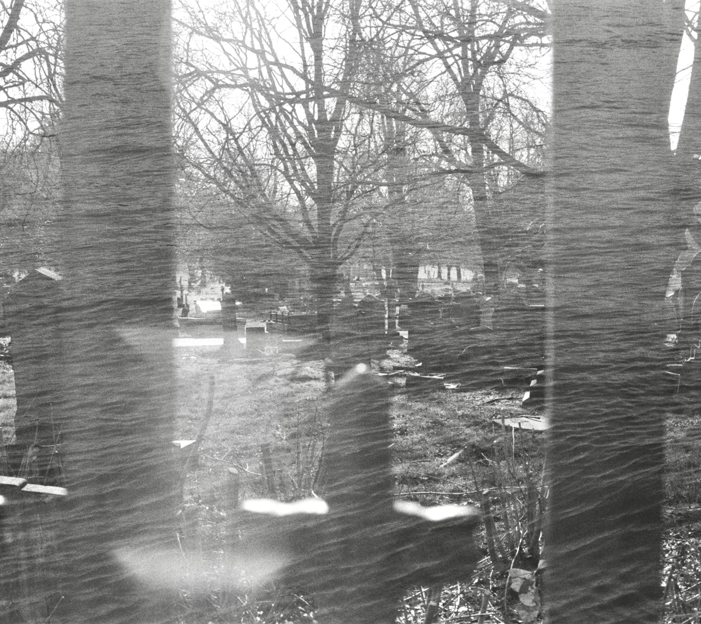
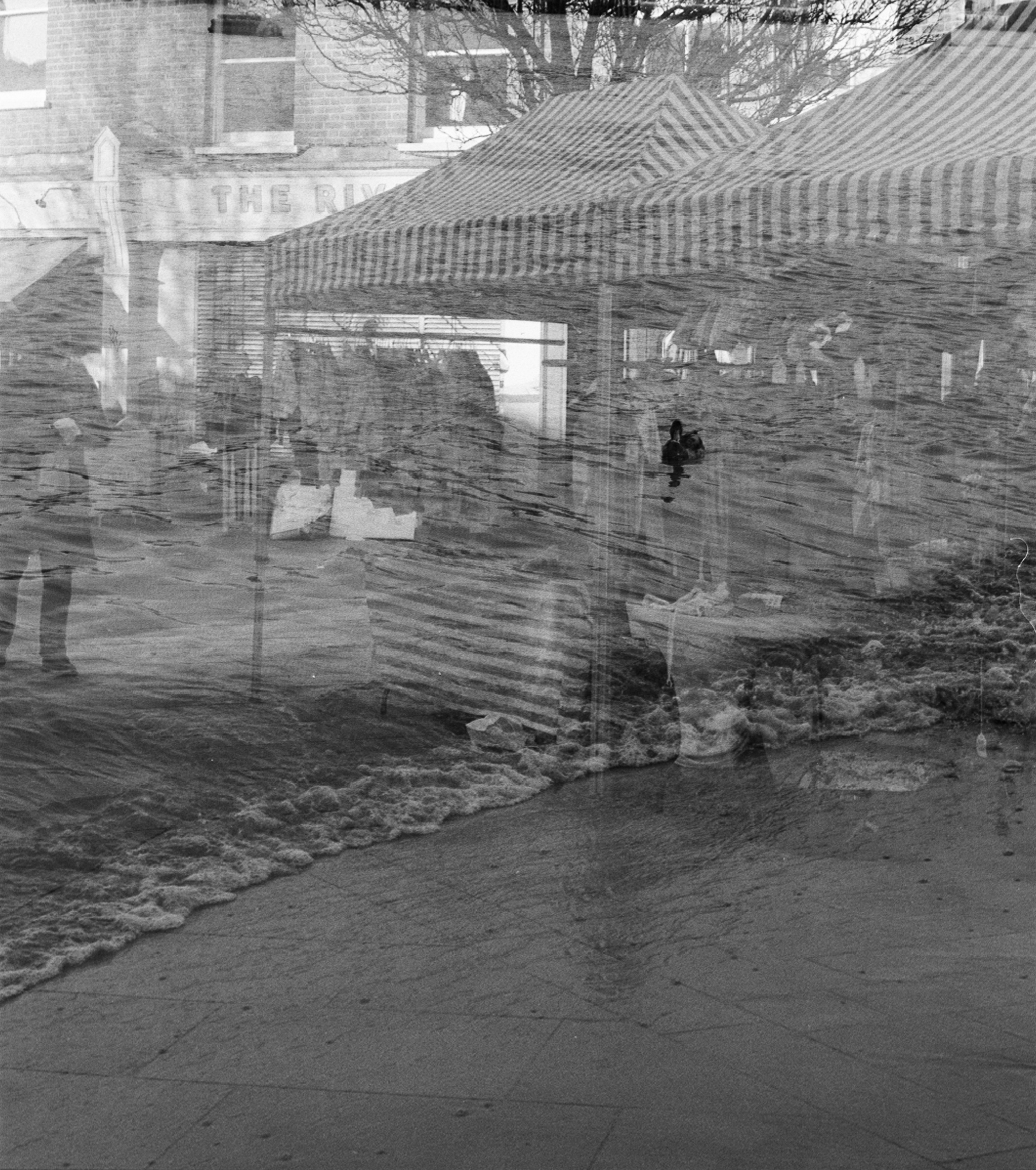
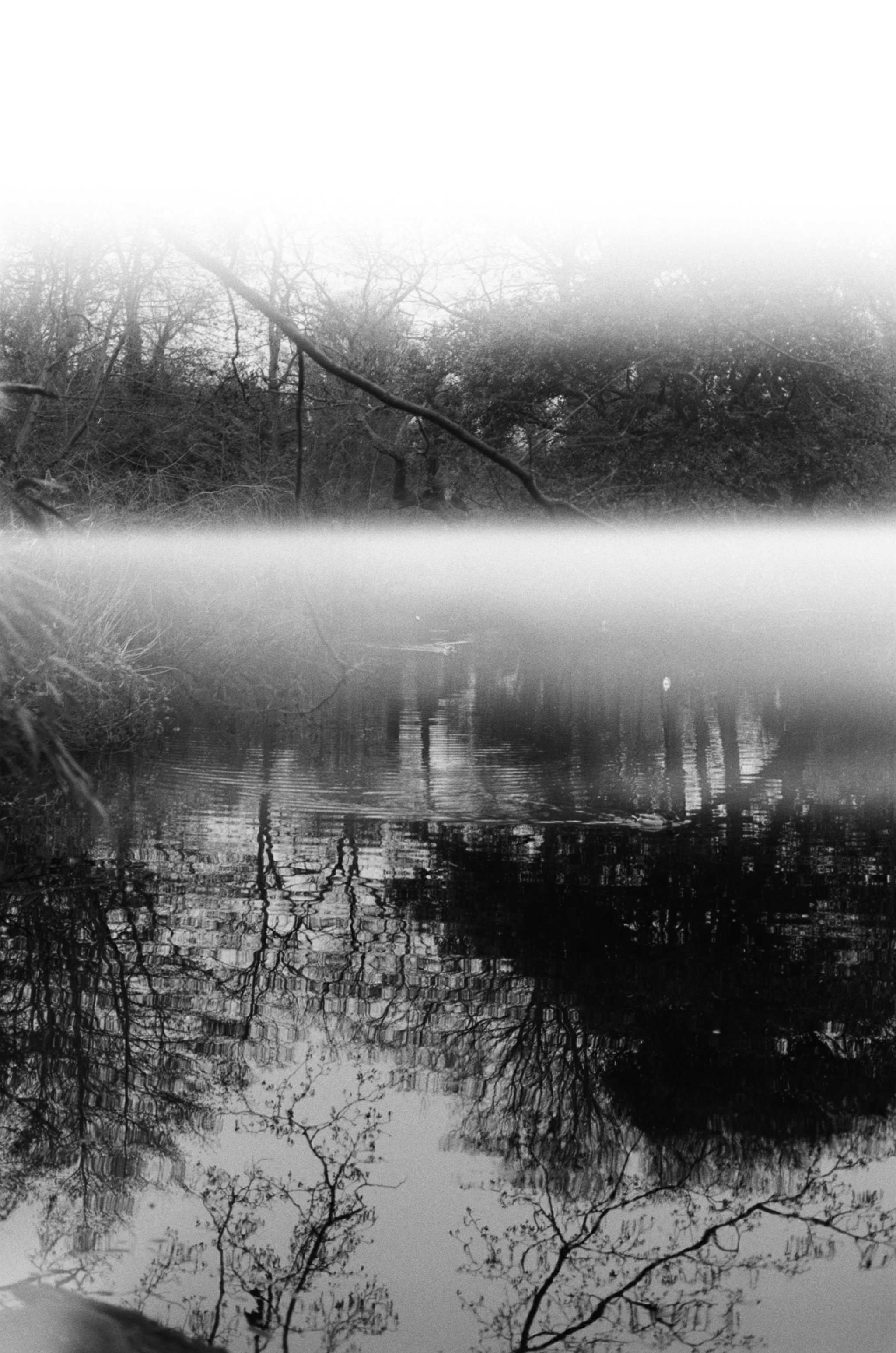
In these photographs, the Effra reclaims its space as part of the heart of South London. Double exposures of its path with the Thames show the river flowing once again – ending with Bel Air Park, the lake in which is believed to be the last part of the Effra above ground.
The Effra has all but disappeared from public knowledge – street names like Brixton Water Lane and plaques dotted around South London remind us of where it used to flow but only to those who pay close attention, but it was not always this way.
King Canute supposedly sailed up to Brixton on the river Effra during the Danish Conquest of 1016, and Queen Elizabeth I supposedly sailed down it to a country house in Brixton (although this was calculated as impossible) – it was an important part of South London, providing irrigation, transport and beauty (until, of course, it became a sewer).
To most people these road names remain a mystery, as do the rivers which we have buried. Their absence could make London more vulnerable to flooding as climate change worsens, but uncovering them is controversial at best and impossible at worst: so much has been built upon the rivers that we have buried that we may never be able to bring them back.